May 30: On Tour Again
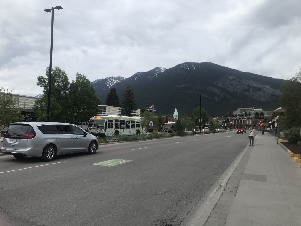
Got up early on a cool, cloudy day and headed for the Banff Train Station. The rail line is active for cargo trains, but the restored station is mainly a tourist shop and bus meet-point.
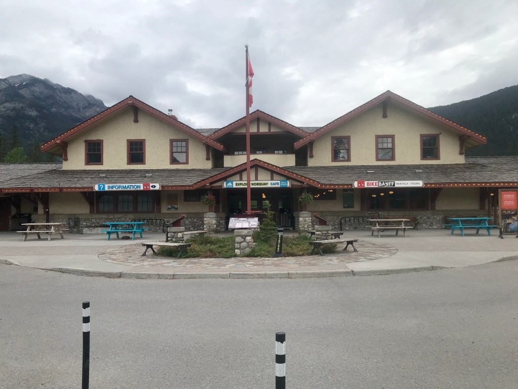
After waiting for a while with other expectant travellers, our tour bus arrived for our Banff And Its Wildlife tour. The tour guide/driver said she would take us to local areas of interest surrounding the town.
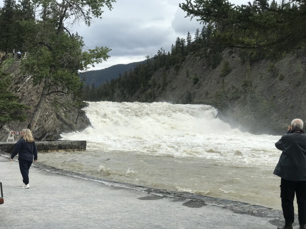
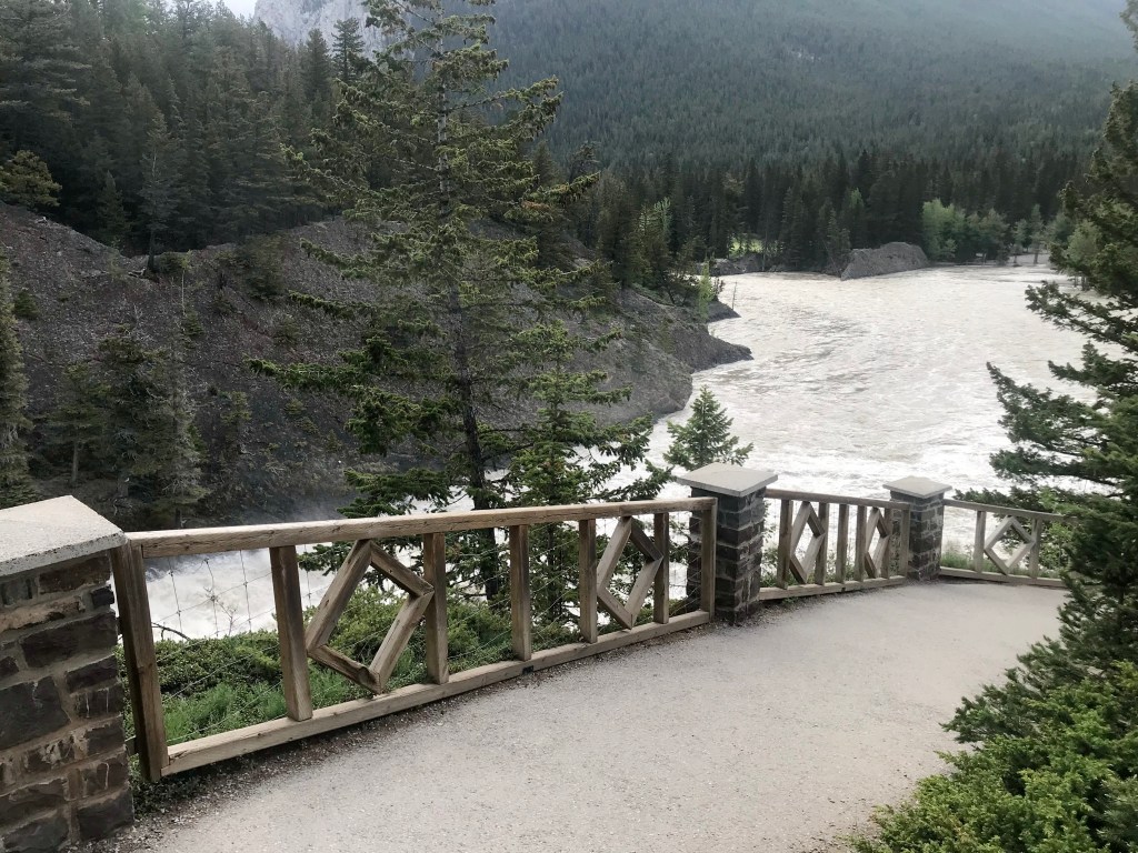
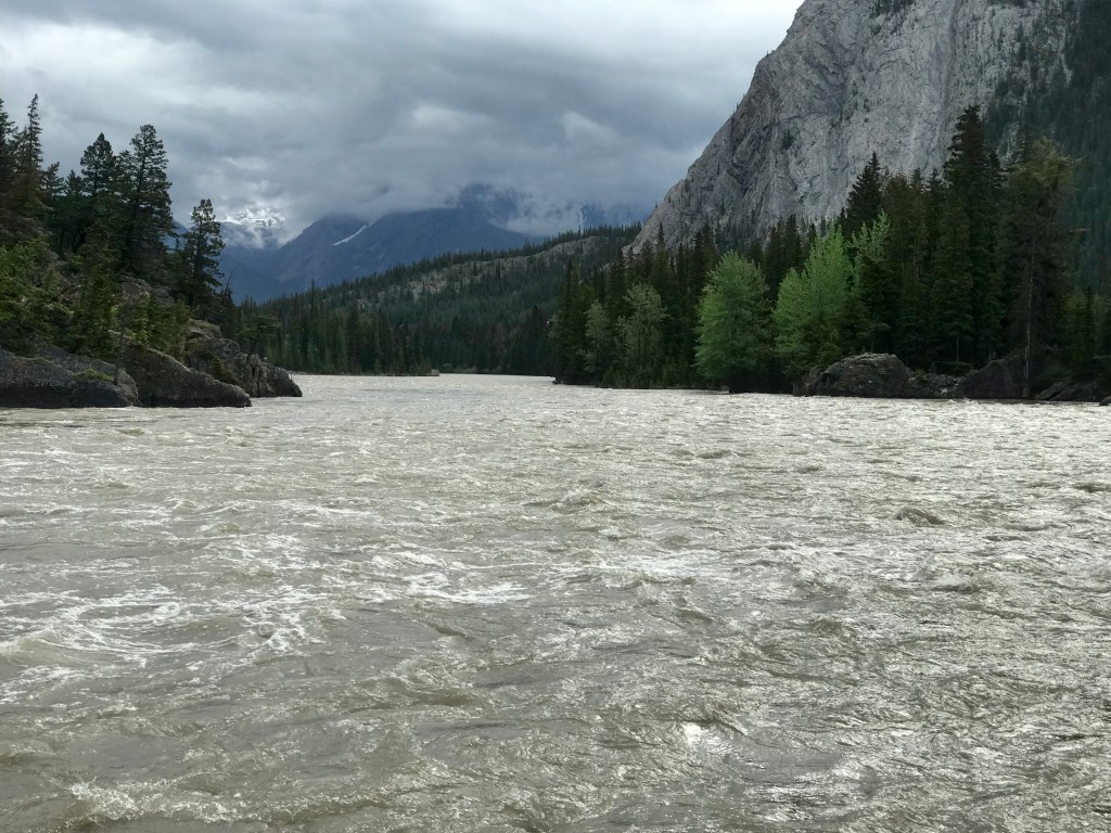
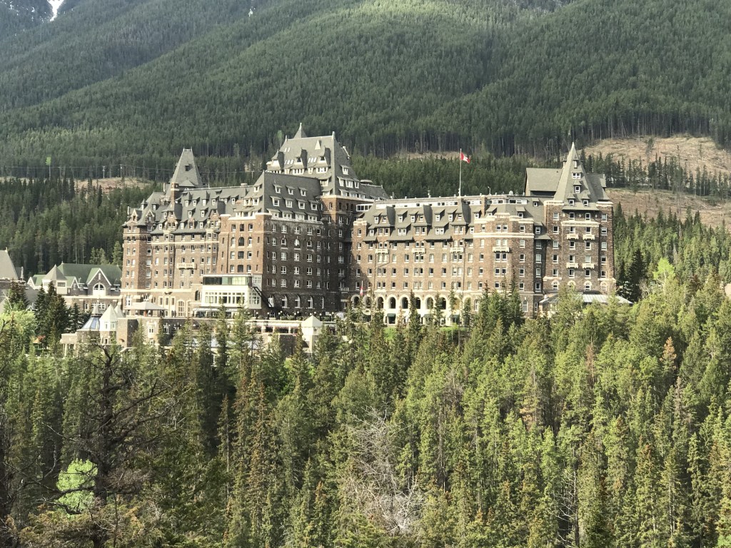
First stop was to pick up other guests from the Banff Springs Hotel, an old and amazing Banff landmark (more below). Next was Bow Falls, where the Bow River is at its most torrent.
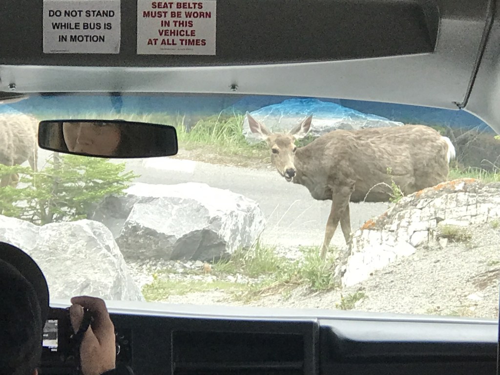
Next stop was the Tunnel Mountain Road lookout, across the river. Before we could get out, some deer approached, so we stayed in the bus for a few minutes while they ate.
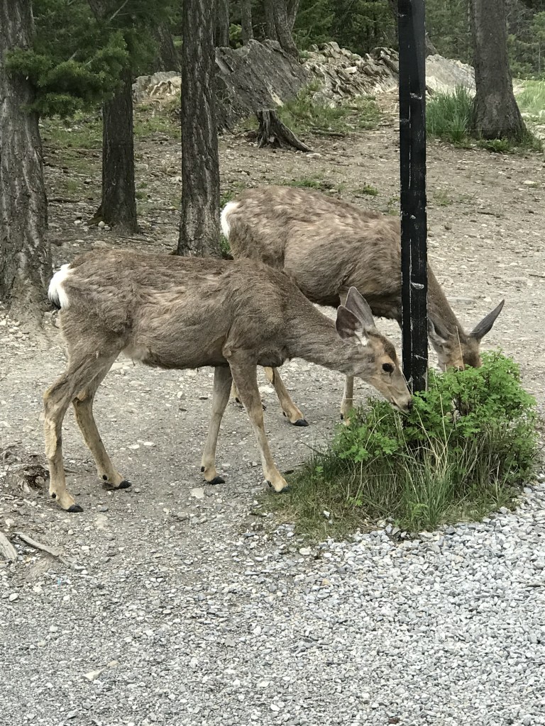
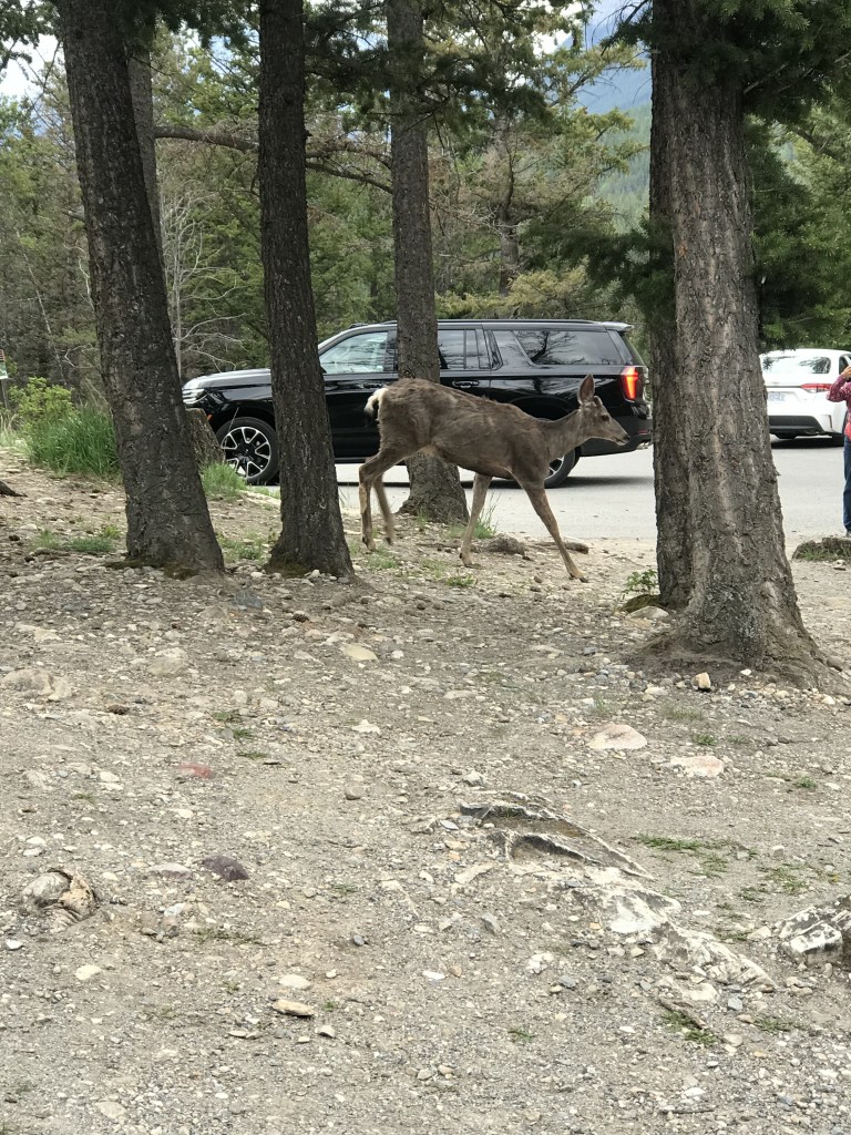
After a while, they moved further away, so we got out (taking more pictures) and climbed to the lookout, where we could get great shots of the Banff Springs Hotel.
We drove along Tunnel Mountain Road. The guide pointed out some of the few houses we could see in this area. She said that, to keep the town’s population manageable and not upset the local wildlife, no-one can buy a house or retire in Banff unless they’ve first worked here at least five years.
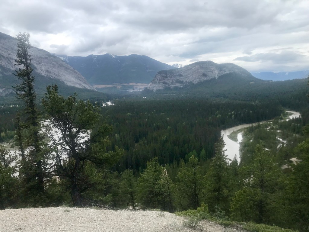
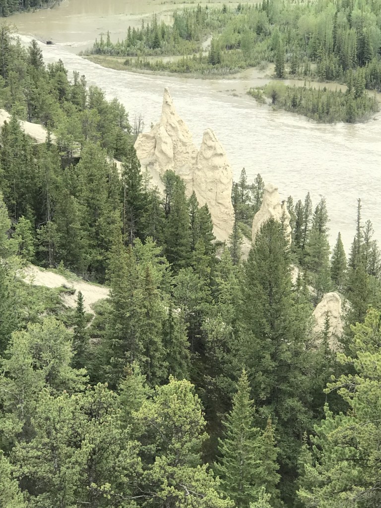
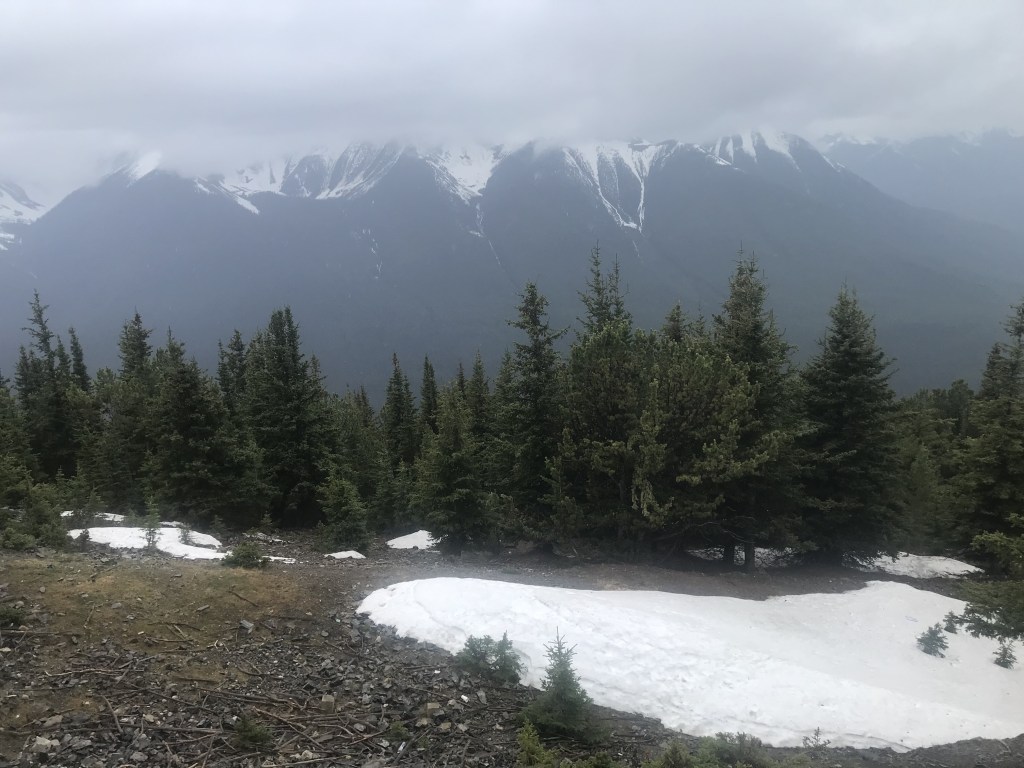
Next stop was Hoodoo Lookout, near a camping ground. Here we could much of the town and the valley it’s in, plus the nearby hoodoos, strange rock columns.
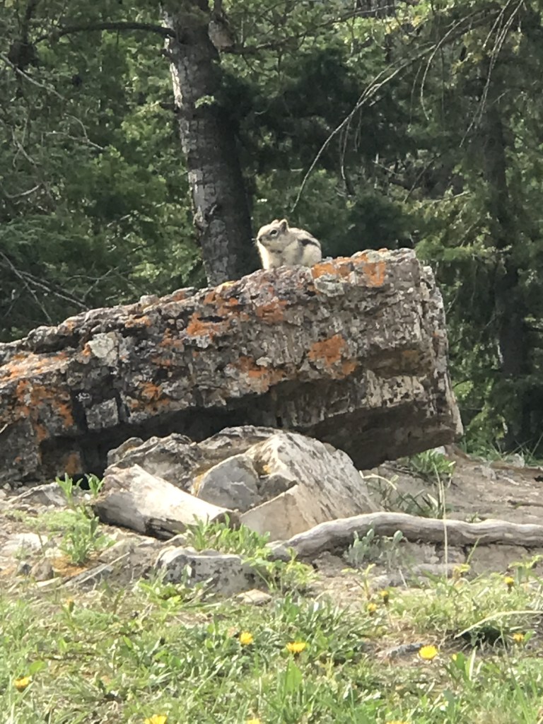
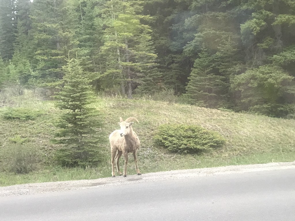
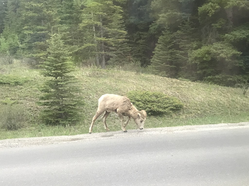
Driving on, we paused to photograph a mountain sheep.
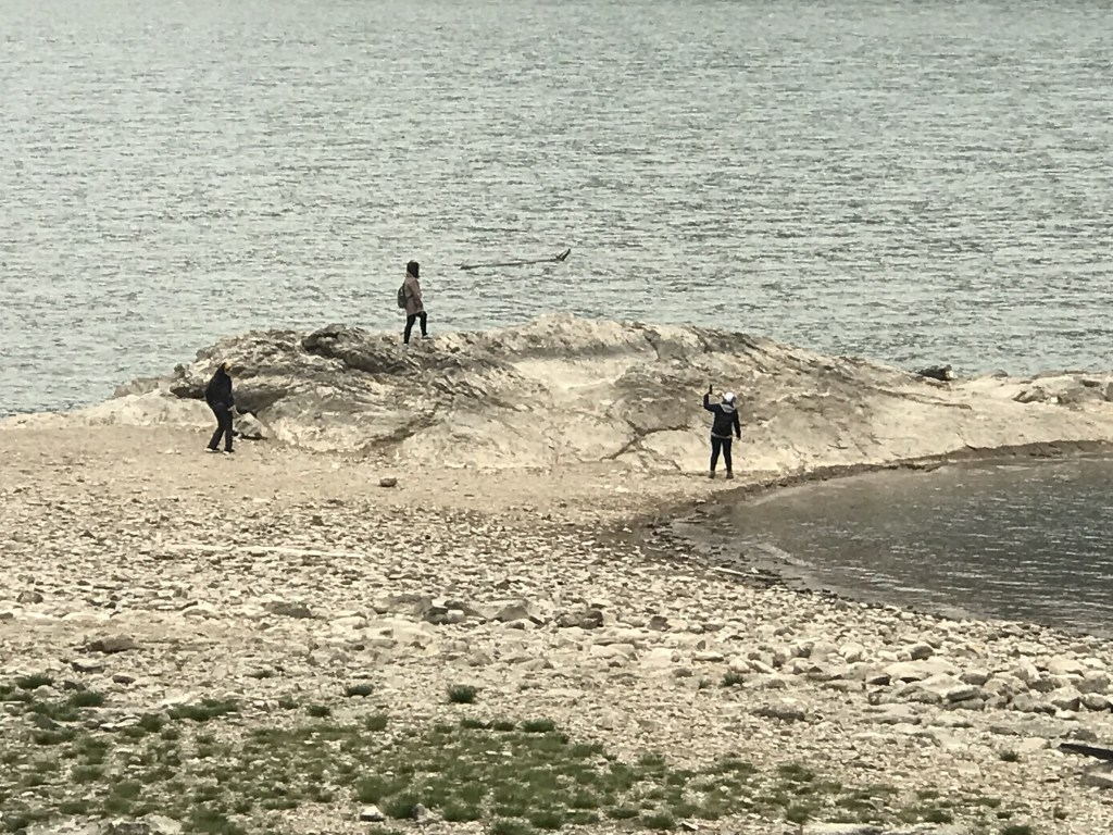
The next spot was Two Jack Lake. Our guide told us that, according to legend, the lake had been discovered by two early explorers, both named Jack. To claim naming rights, they played poker and drank heavily. In the morning, neither of them could remember who won the game, so they named the lake after both of themselves.
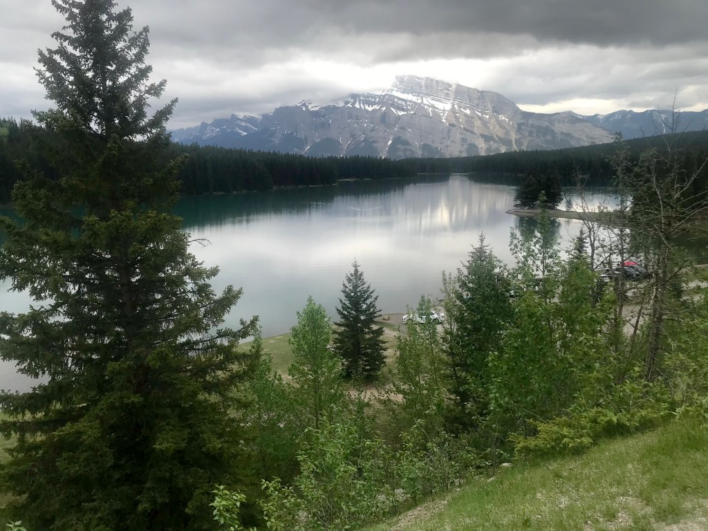
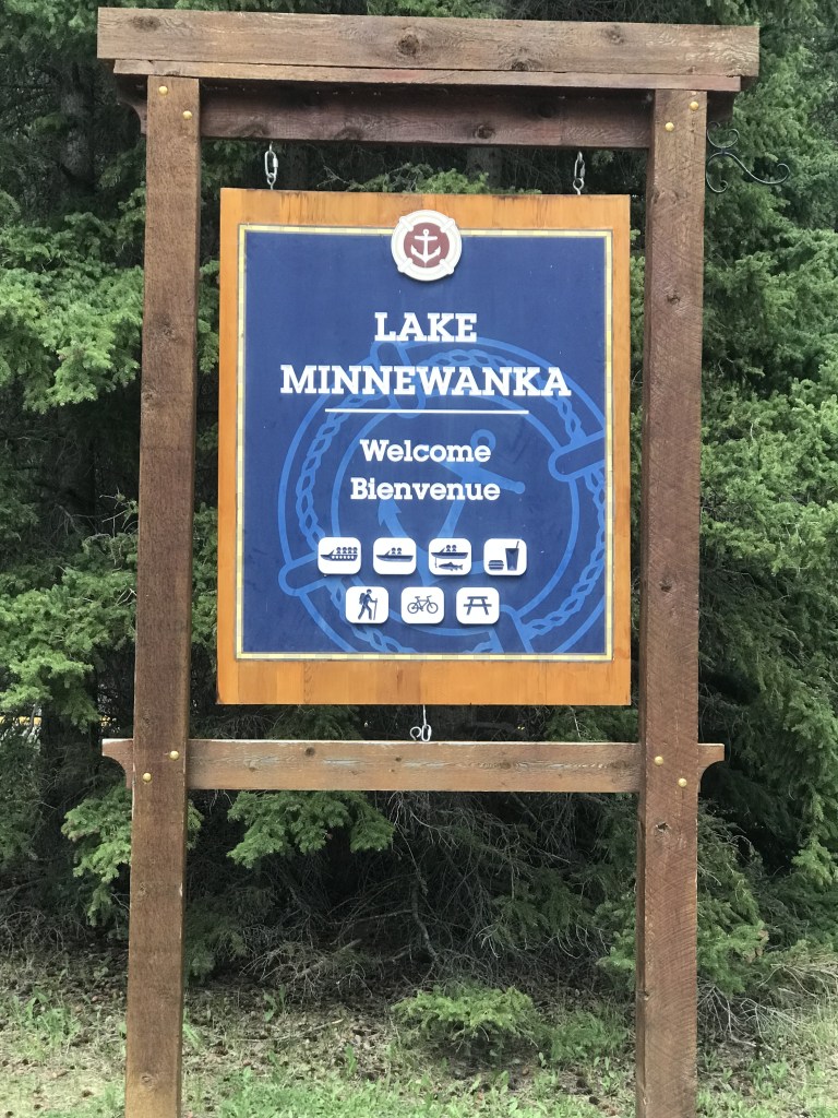
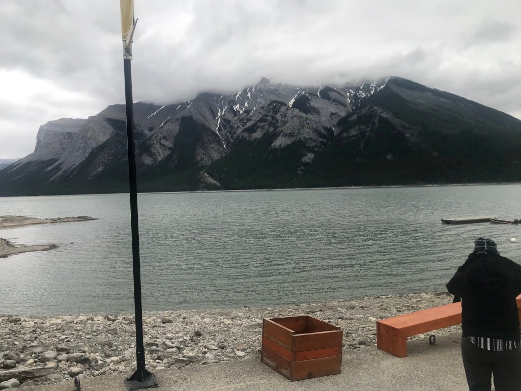
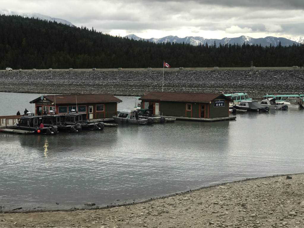
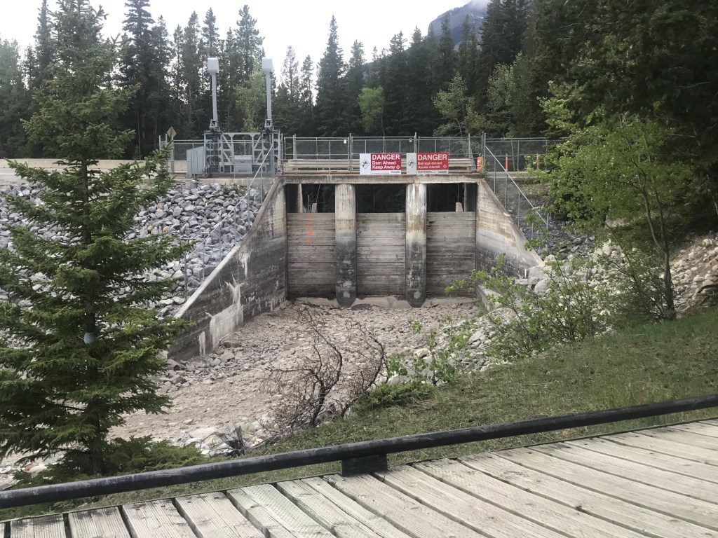
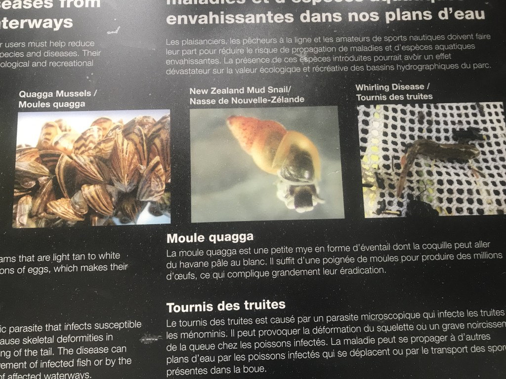
We travelled on to Lake Minnewanka, the largest lake in the area. It was once smaller, but was dammed in World War II. Now it’s mainly used for boating, fishing and scuba diving to see the submerged town.
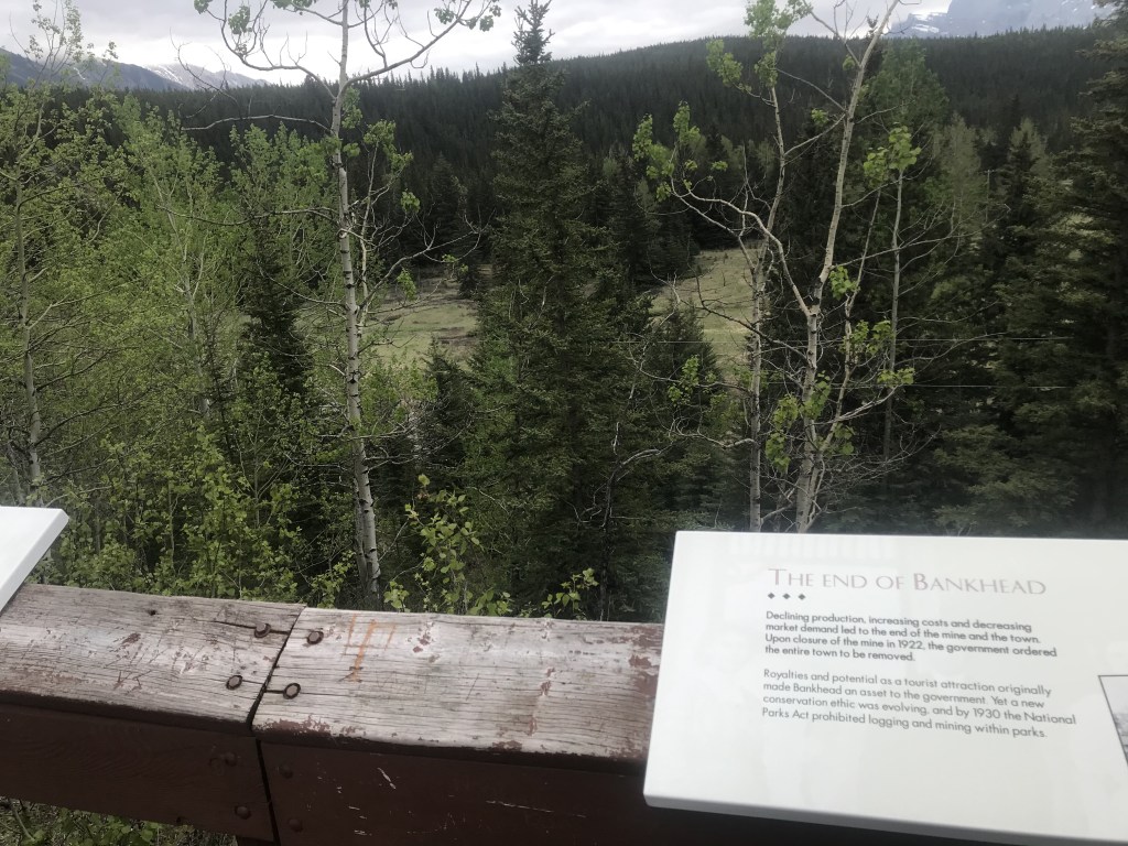
Heading back toward Banff, we stopped at the site of Bankhead, an old coal mining town now disappeared.
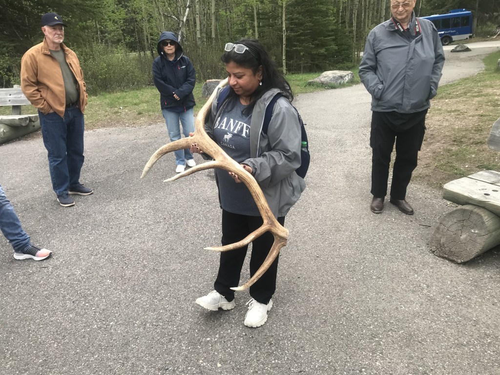
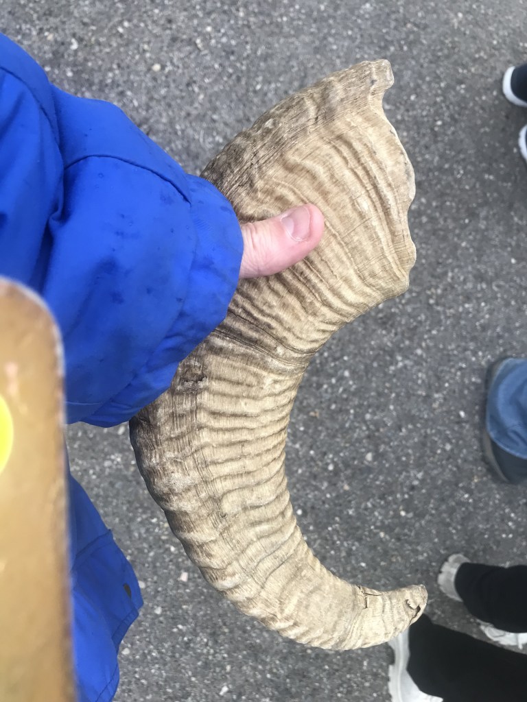
The guide then handed around some maple cookies, and showed us a deer antler and mountain sheep horn.
Gondola to Cosmics
We arrived back in Banff just after lunch. The guide had recommended a local burger joint, so I tried its veggie burger for lunch (not bad), then walked back to Banff International Hostel and had a nap. My dorm is a eight-bedder, but has its own toilet and shower, which is handy.
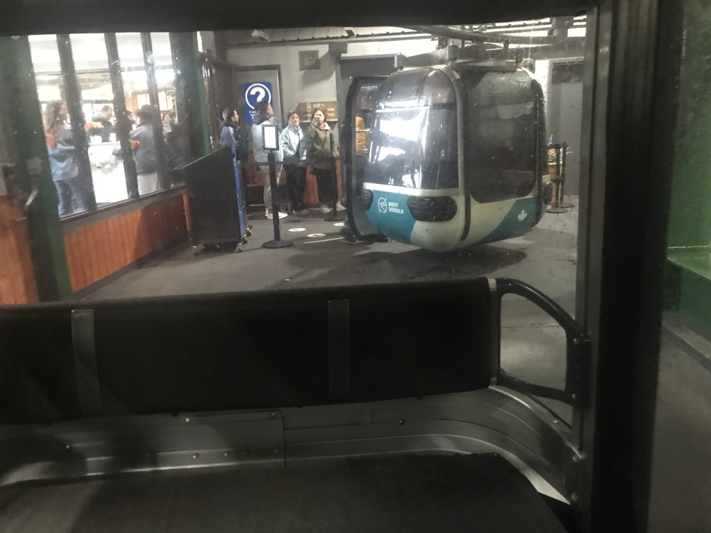
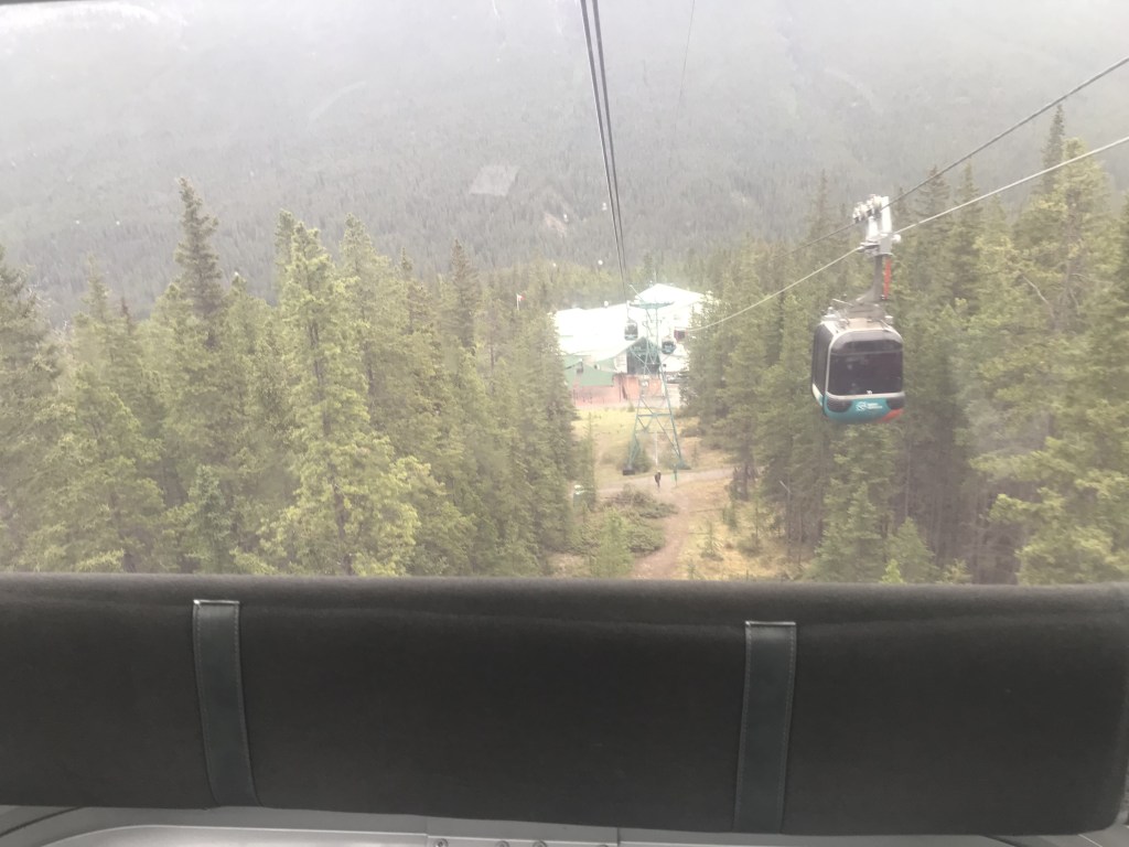
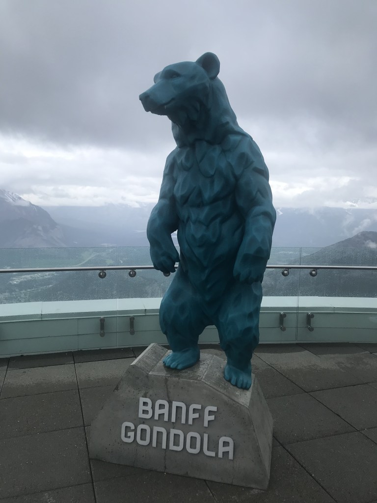
After I awoke, it was late afternoon. The weather had become a bit colder and slightly spitty. I checked the weather forecast for the next few days. It said the rain would get worse. Choosing the lesser of evils, I decided I’d take my trip up the Banff Gondola immediately and hopped on the local bus.
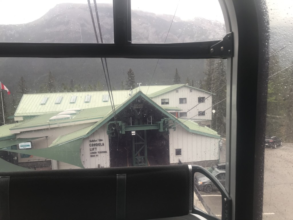
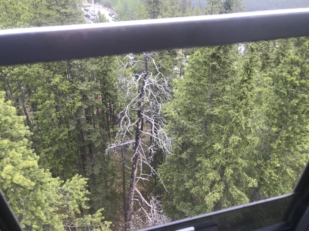
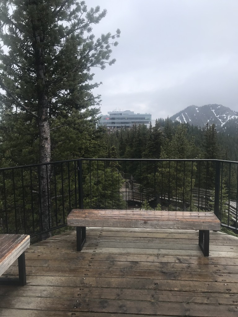
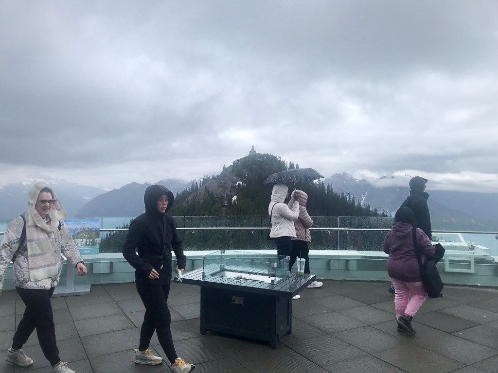
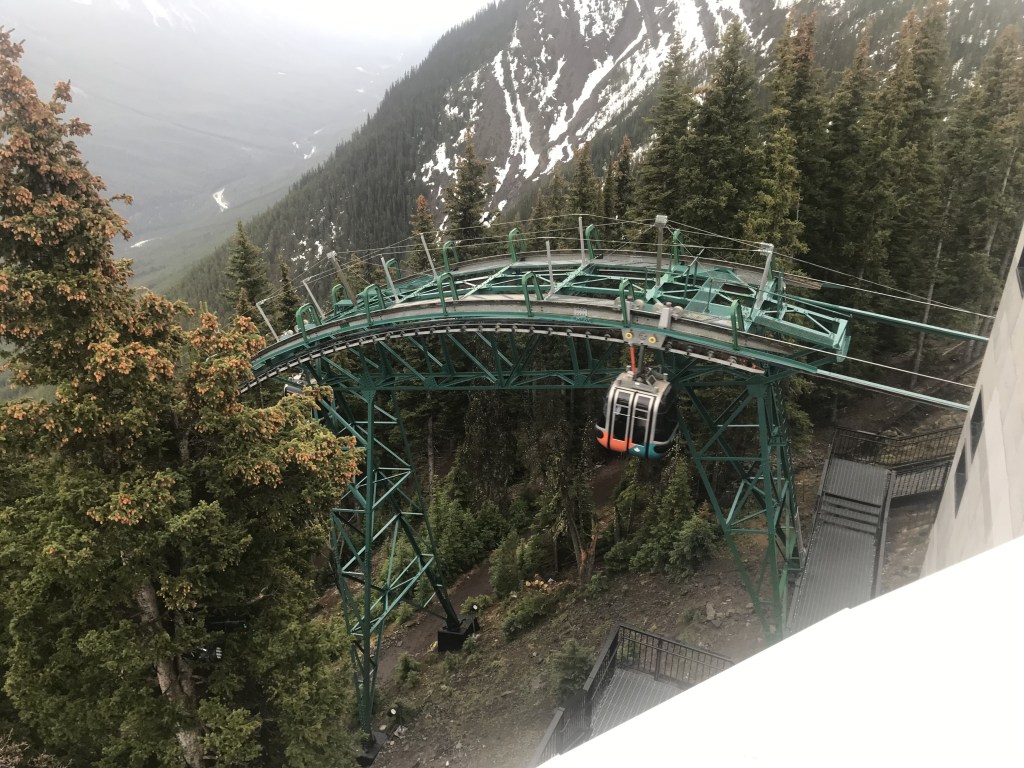
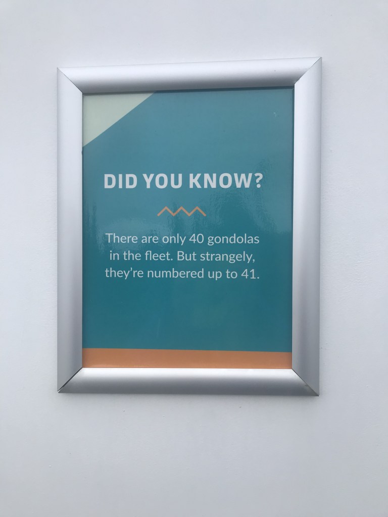
The Banff Gondola takes you to the top of Sulphur Mountain, where the old Weather Station sits. Despite the cooler weather, the base station was full of tourists eager to go up. I bought my ticket and, when the next batch of gondolas arrived, I got one all to myself (because the family behind me wanted to stay a group of four).
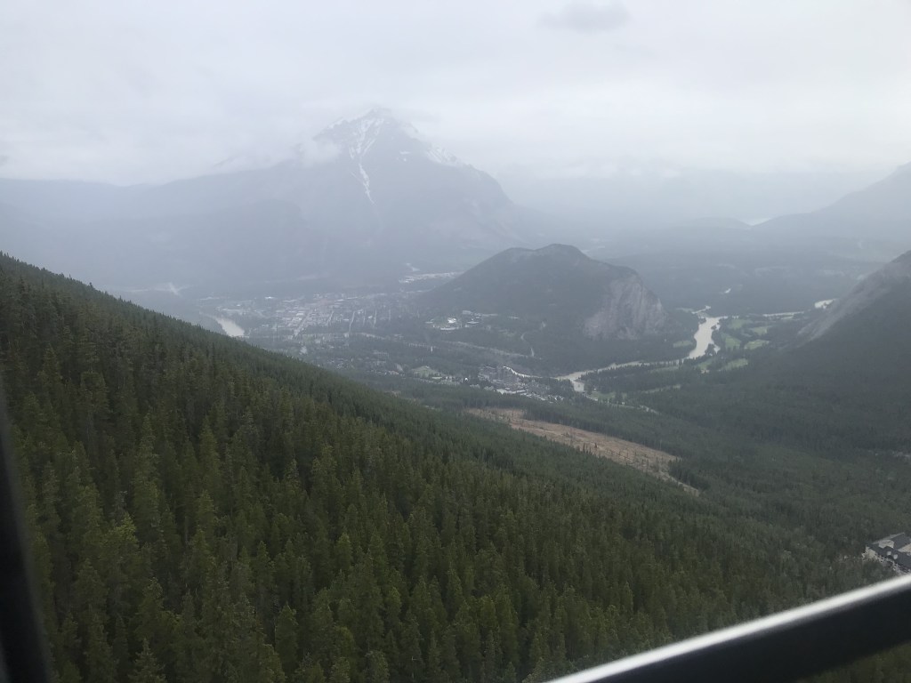
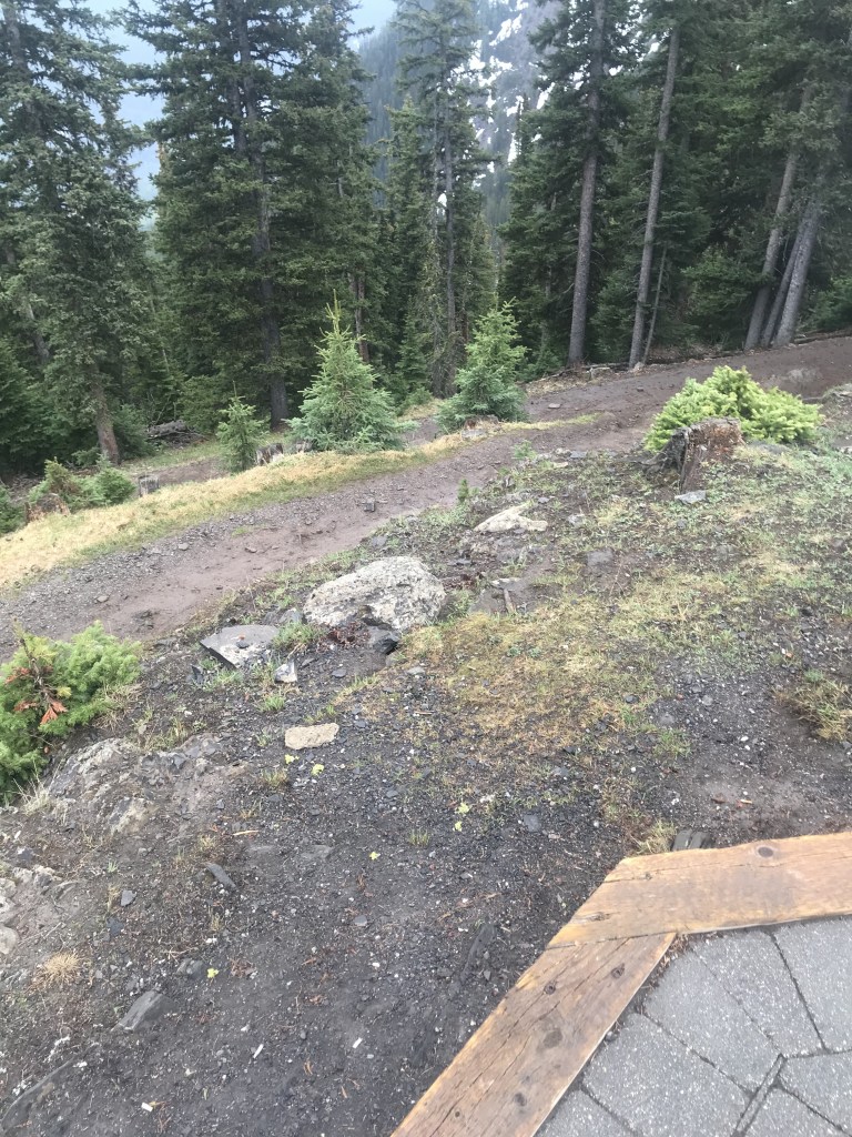
Up at the summit station, the wind was colder (again, hooray for my ski jacket!), but I was determined to press on and headed onto the walkway.

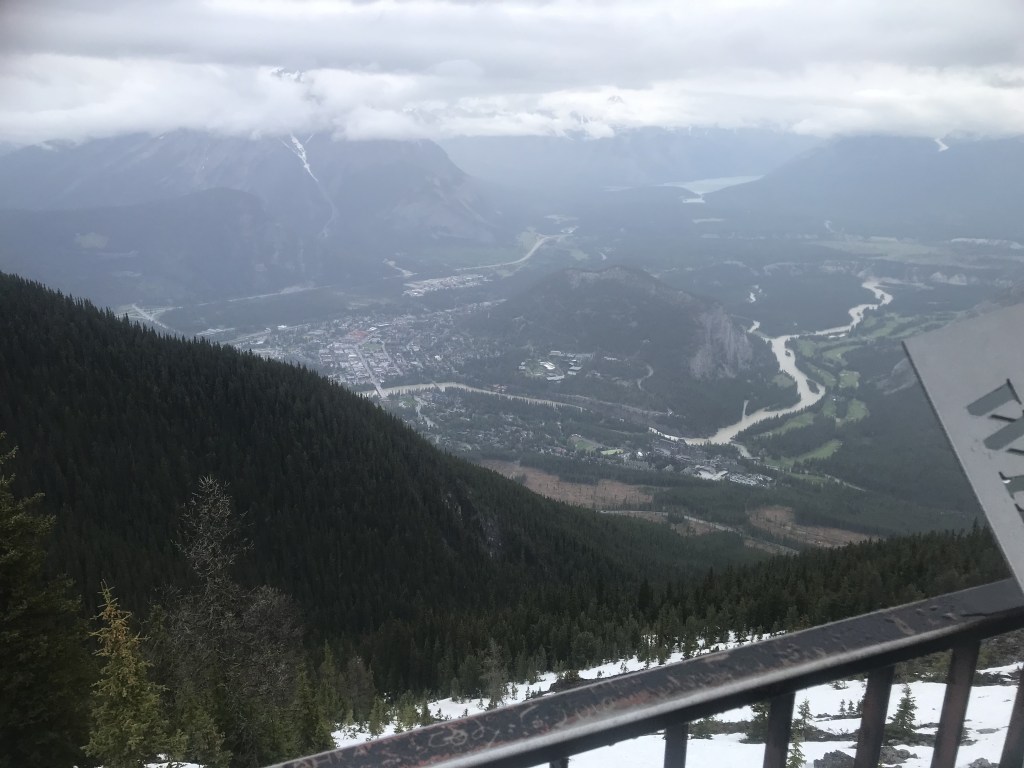
From there, I could see both Bow Valley and the Sulphur Mountain Valley.
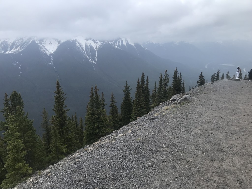
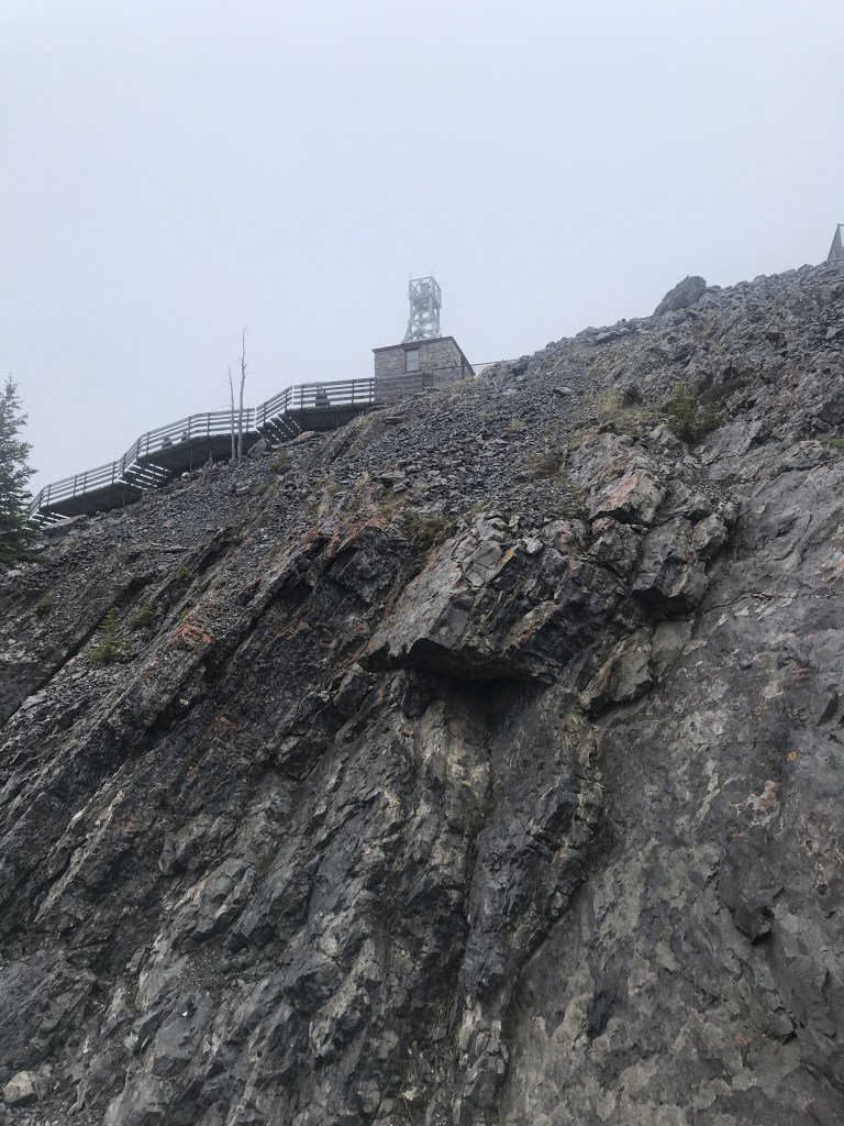
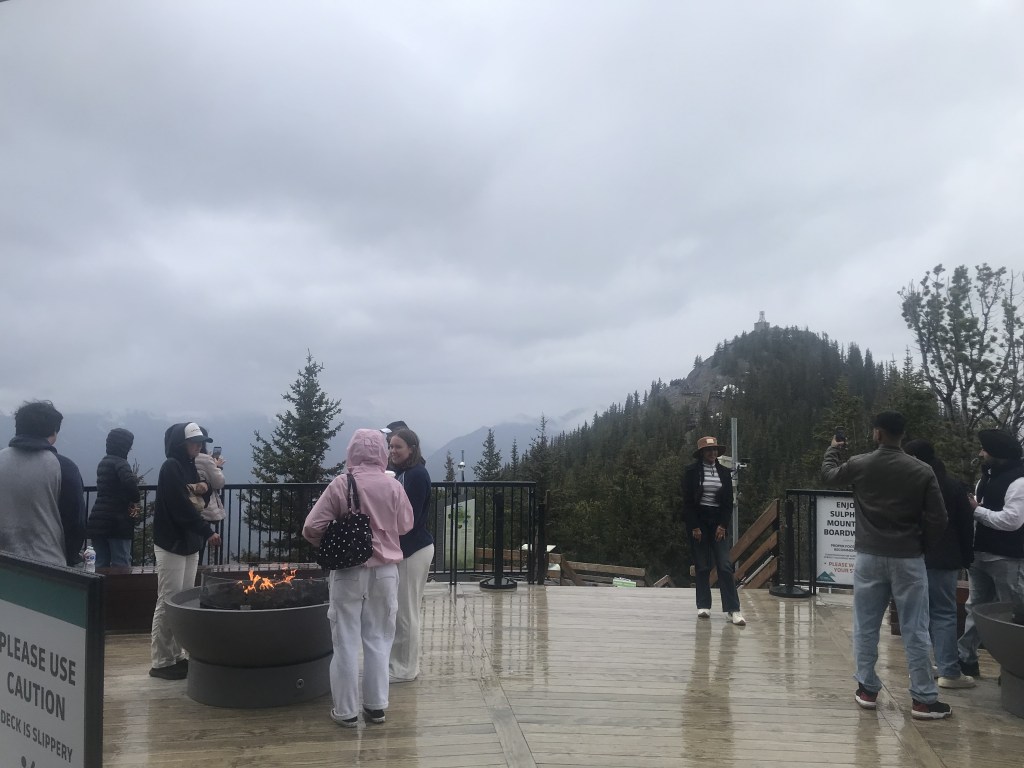
After more climbing, I reached the old Weather Station. It was built in 1902 and recorded mountain weather for over 30 years before being decommissioned.
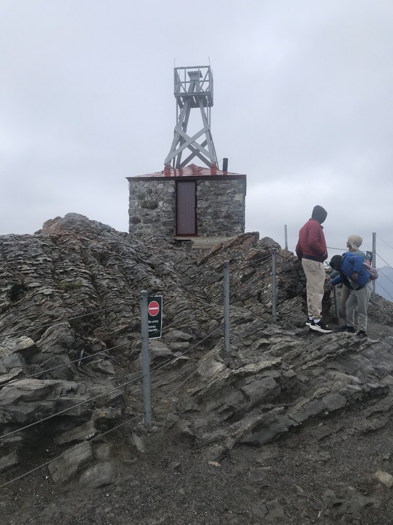
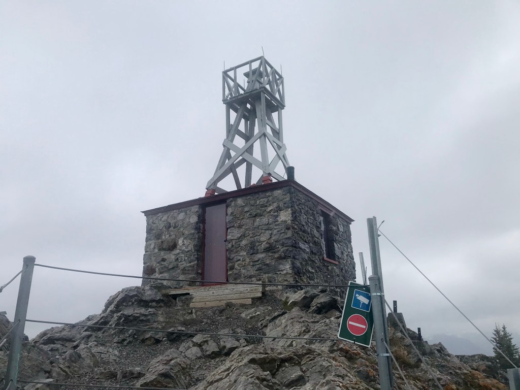
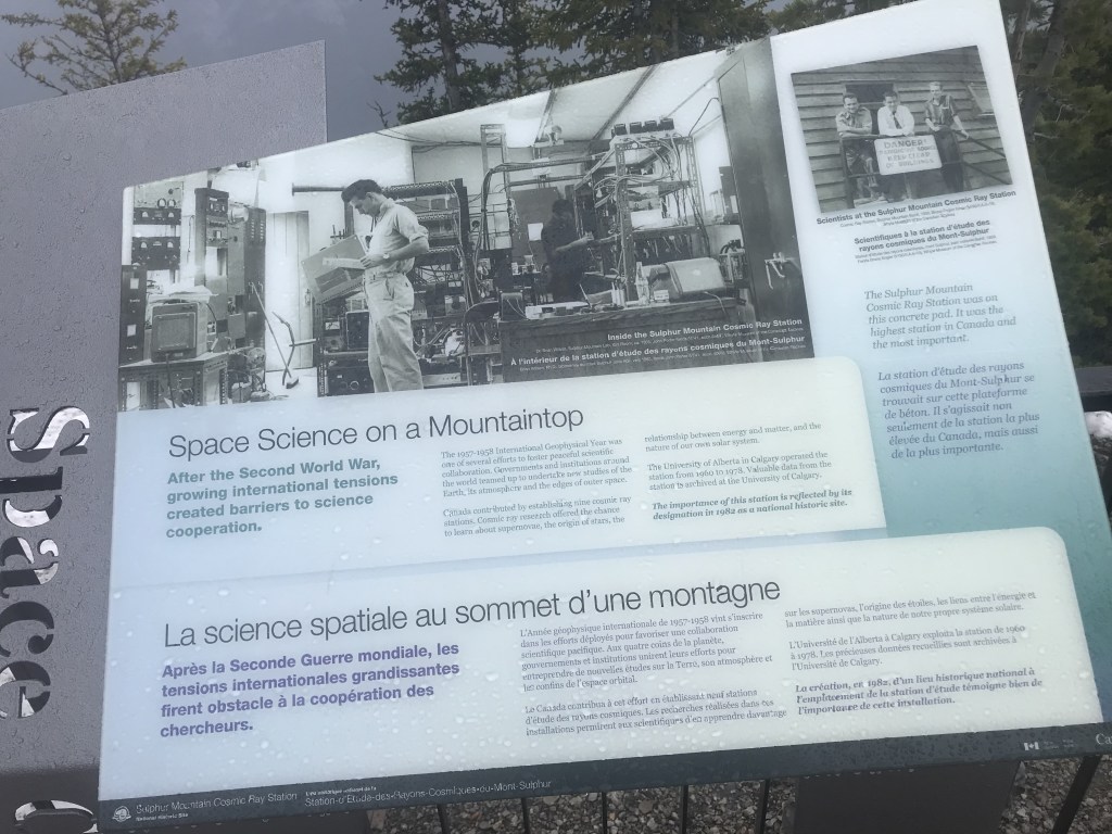
There also used to be a Cosmic Ray Station on the summit. It was built in 1957 to monitor cosmic radiation; its height made it particularly sensitive. Unfortunately, it was demolished in 1981.
After taking in these sights in increasing cold weather, I headed back to the summit station and waited for my gondola down.

Leave a comment